Hidden Nearby: Housatonic Valley Regional High School’s 75th Anniversary

Housatonic_Valley_Regional_High_School_025

Prior to 1939, the six towns that currently comprise Regional School District #1 – Canaan, Cornwall, Kent, North Canaan, Salisbury, and Sharon – each had their own high school.  The cost of providing secondary education in such small towns, especially in the midst of the Great Depression, was becoming increasingly problematic.  In 1935, to reduce these costs and to provide a broader array of academic and extracurricular activities, William Teague (the state-appointed supervisor of rural education) proposed a consolidated high school for the six towns.  In 1937, the state legislature passed a bill creating the new district and establishing the first regional high school in New England.

Cornerstone

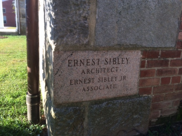
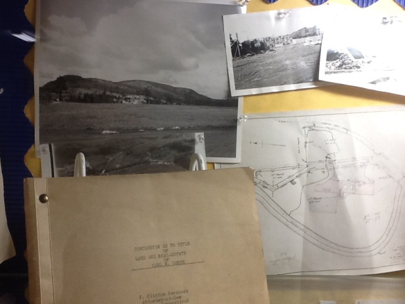
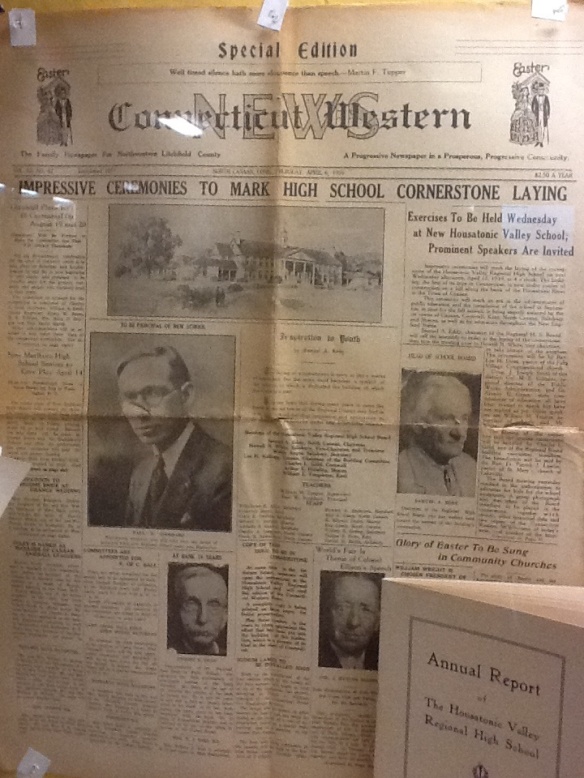
Later that year the Regional School Board purchased 75 acres of the Lorch farm at a central point in the region, overlooking the Housatonic River in Falls Village.  Ernest Sibley was hired as the architect and he designed the school in the Georgian Revival style that was popular among New Deal buildings. In 1938 the cornerstone of the building was laid.

construction

The land, building and equipment associated with the school cost $347,180.  Of this amount, $326,946 came from the Public Works Administration, a New Deal agency designed to build governmental buildings and structures.  Thus, Housatonic became one of the 7,488 schools built by the PWA.

paper

Paul W. Stoddard, an English teacher from Hartford’s Bulkeley High School, was hired as the school’s first principal and oversaw not only the hiring of the entire staff but also the drafting of the school’s curriculum.  When school opened for the first day on September 25, 1939, the school was in an unfinished state.  Its 374 students trod on bare cement floors, had no lockers, and heard no bells.

motto

A motto was selected for the school – Felix Prole Virum – “blest in offspring, wise and strong.”  As the towns of northwest Connecticut celebrate their high school’s 75th anniversary, that motto remains painted above the doors to the school.

East Cemetery’s Van Winkle Gateway

cem5

An outstanding job of brush clearing along Rt. 202 between Litchfield and Torrington has recovered the Van Winkle Gate of the East Cemetery.


cem3

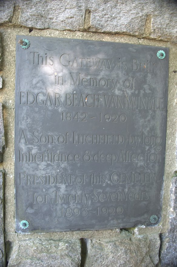
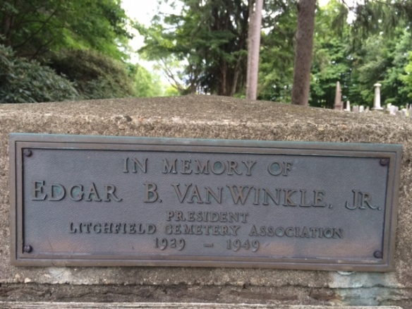
East Cemetery, Litchfield’s largest, is, according to Alain White’s history of the town, the third oldest cemetery in town.  White identifies West Cemetery, established in 1723 as the oldest but does not state what is second.  In 1754 a committee consisting of Samuel Culver, Joshua Garritt, and Edward Phelps was formed to lay out a new cemetery closer to town.  Their work was finished in January 1755.  As is evident from the plaque above (which adorns the right side of the gateway), Edgar Van Winkle, Sr. served as president for the Litchfield Cemetery Association for 27 years.  Van Winkle was a Union College educated civil engineer and Union Army veteran who rose to be chief engineer of New York’s Department of Public Works.  He also worked for the Shepaug Railroad. 

cem4

On the left side of the gate are biblical quotations.  The first is: “Then shall the Dust return to the Earth as it was and the Spirit to God who gave it” from Ecclesiastes.  The second is: “Blessed are the Dead which die in the LORD that they may rest from their labors & their works do follow them” from Revelation.

stonewall

Originally the area of the cemetery behind the gate was designated for use as a highway, but when the cemetery expanded in 1837, the town voted to give the highway land to the Litchfield Cemetery Association that still maintains the grounds.  The stonewalls alongside the Route 118 frontage of the cemetery were built by public subscription in 1850.  The southeast corner of the cemetery – along this road – contains unmarked graves of Revolutionary War soldiers.

van winkle

The entrance to the cemetery on Route 118 is dedicated to the memory of Edgar Van Winkle, Jr., who also served as president of the Litchfield Cemetery Association.