Winter Travel in 18th Century Litchfield County

Image result for sturbridge sleigh

An early 19th century sleigh at Old Sturbridge Village

With snow on the ground and the Christmas season upon us, here’s an account of the difficulties that winter weather posed in an earlier era. John Cotton Smith (1765-1845) was the son of Cotton Mather Smith, the prominent minister in Sharon at the time of the Revolutionary War. John Cotton Smith studied at Yale, became a notable attorney, and then served Connecticut in the United States House of Representatives and as governor of the state.

John Cotton Smith engraving.png

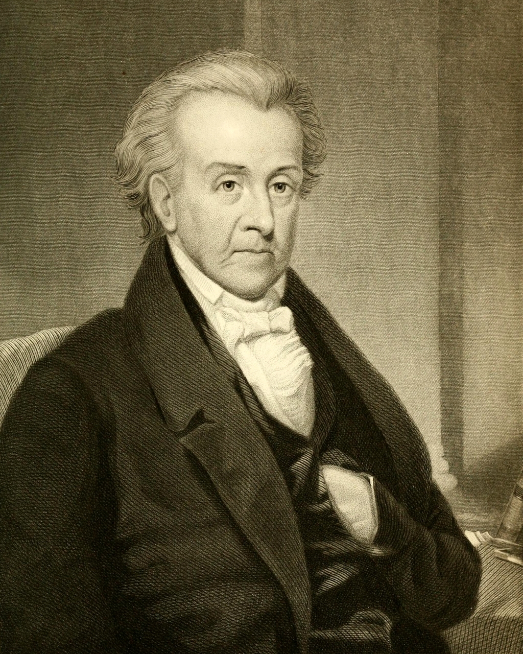
John Cotton Smith in later life

While a sophomore at Yale in 1780, his father traveled to bring John Cotton home for winter vacation. On their return to New Haven from Sharon:

A great snow storm came on, and they were compelled to leave their sleigh in                    Woodbury, and travel to Bethlehem on horseback. By that time the roads were                    impassable to horses, and, fearing that they might be wholly blocked up, they set out,        with Dr. Bellamy’s sanction, on Sunday afternoon, on snow-shoes, reached                            Washington that night, Warren the next, and home on the third.

This account is from “A Biographical History of the County of Litchfield, Connecticut,” written by Payne Kilbourne in 1851. It tells us not only of the hazards that awaited winter travelers in the 18th century (it is interesting to note that it is 8 miles from the Bellamy-Ferriday house in Bethlehem to the center of Washington, 9 miles from Washington to Warren, and 14 miles from Warren to Sharon) but also of the strong hold that religion had on people’s daily lives. As a minister, Cotton Mather Smith was certainly familiar with the Reverend Joseph Bellamy, the influential theologian who was known as the “Pope of Litchfield County.” Bellamy was such a power that his approval was needed for Sunday travel.

Image result for bellamy ferriday house

The Bellamy-Ferriday House in Bethlehem

Best wishes for a wonderful holiday season and happy new year!

Hidden Nearby: An Autumn Walk to Steep Rock’s Quartz Mine

As with many of our other protected lands (Lover’s Leap State Park, Burr Pond State Park, the White Memorial Foundation), the Hidden Valley Preserve of Washington’s Steep Rock Association was once the site of industrial operations. The Hidden Valley, quiet today except for the sound of the rushing Shepaug River, once echoed with the sounds of quartz mining and locomotives. The glories of a New England Fall presents the perfect time to visit this piece of Litchfield County’s industrial heritage.

IMG_6713

A short walk along the northwestern bank of the river brings the hiker to the spectacular Thoreau Bridge, erected in 2015.

IMG_6683

Quotes from Thoreau are emblazoned on the bridge.

IMG_6704

On the eastern bank of the Shepaug River is this monument and bridged dedicated in honor of Washington native and West Point graduate Stephen Reich, killed in Afghanistan in 2005. 

IMG_6700

The trail passes old footpaths, cart paths, and the bed of the railroad used to haul the quartz out of the area, often to the Hudson River.

IMG_6707

Stone retaining walls in the woods mark the old road beds used to get wagons and carts to the mine.

IMG_6708

Fragments of quartz line the trail approaching the mine.

IMG_6709

The quartz itself, a surface mine in operation from the 1800s to 1905.


Quartz, the most common mineral on the earth’s surface, was an important industrial product in American history. Initially quartz was used for knives, scrapers, and arrowheads. With the coming of the industrial revolution, the uses of quartz changed. It was pulverized and used as a filler in paints. (The Bridgeport Wood Finishing Company, a major paint-making operation, was located just a few miles away along the Housatonic in New Milford.) Another use of quartz was as an abrasive, like sandpaper. The primary use of quartz, however, was for glass, which is essentially melted quartz.


The hiker needs no excuse to travel to the beautiful woods of the Hidden Valley, but keeping one’s eyes open reveals a rich part of the county’s history.


75th Anniversary of Pearl Harbor

Photo of Litchfield War Monuments - Litchfield, CT, United States

This December 7th marks the 75th anniversary of Pearl Harbor, and while Litchfield County residents tend to think that it was the Revolutionary War that had the greatest impact on our region, the World War II monument on the Litchfield green identifies 480 men from the town who served in the American armed forces. Nearly 250 men from Litchfield County died in the war. Additionally, many area factories were converted to production for the war effort, and many of our towns’s landscapes were altered as a result.

And while many of our town greens have notable World War II monuments, touching memorials also appear in out of the way places, like this one inside Washington’s Congregational Church:

wwii

or this one along Route 202 in New Milford, which is particularly noticeable at Christmas time:

As the anniversary of Pearl Harbor allows us to reflect on the war, let’s be sure to remember those sacrifices by our Litchfield County ancestors.


Land Conservation in Litchfield County

There were more trees in Connecticut in 2010 than there were at any time since 1850. This, of course, reflects different land use patterns that have emerged as the state’s economy has evolved. In Litchfield County this is also a result of the willingness of residents to conserve rather than develop their land.

Roxbury

The Orzech Family Preserve, 112 acres near Route 67 and the Shepaug River in Roxbury.

The celebrities and artists who have long been attracted to the area have also been prominent supporters of land conservation, and nearly every town in the county has a land trust.  Some of these trusts are extraordinarily active; the Weantinoge Heritage Land Trust, for example, has preserved over 4,000 acres of land, mostly in Litchfield County.  The results of this movement have been profound. Perhaps the best example comes from George Black’s book, The Trout Pool Paradox, in which he laments the Naugatuck River south of Torrington as a “chemical sewer,” while the Shepaug River is the “Platonic ideal of a trout stream.”

IMG_2920

This carving on a boulder in the White Memorial Foundation honors Alain and May White.

Alain and May White were among the most extraordinary conservationists in the county. In addition to their own 4,000 acre preserve (what is now the White Memorial Foundation), the siblings additionally donated nearly 6,000 acres to fourteen Connecticut state parks, mostly in Litchfield County.

marcicostas

The Macricostas Preserve of Steep Rock, along Route 202 in Washington.

A similar operation to the Whites was taking place in Washington, where noted architect Ehrick Kensett Rossiter made the Steep Rock Land Trust his most lasting legacy to the town.  Rossiter began with a 100-acre purchase in 1881 – what would become the heart of the preserve – and continued to add land to the trust he established. Additional donations from the Van Sinderen and Macricostas families have brought Steep Rock’s holdings to nearly 3,000 acres.


Daffodils

The Morosani Preserve in Northfield.

The examples of the Whites and Rossiter are matched in spirit if not in size by dozens of more conservationists who have helped to preserve the county’s landscape.  Among these are the Morosanis, whose Laurel Ridge Foundation is noted for its daffodils every spring, Edith Morton Chase, daughter of a brass magnate whose home became Topsmead State Forest, and S. Dillon and Mary Livingstone Ripley, whose Kilvarock estate became the Livingstone Ripley Waterfowl Conservancy.